Monday, June 3, 2024

May-anderings

 With eyes on more ambitious pursuits once summer reaches full swing, it was time to dust off the trekking poles and hit the lowland trails to get the hiking legs in shape.  I've been dealing with some nagging right hip problems, so I'm taking a more systematic approach this year than in prior years where it was just a few sufferfest hikes, then I was ready to go.  I've been focusing less on scenery and more on just putting in miles, but I'll never give up my own personal goal of seeing as few people as possible.  When looking for early season hikes, the Olympic National Forest is hard to beat.  Low-ish elevation river hikes typically fit the bill and offer plenty of options to tailor mileage to my goals.  Since there usually isn't a terminal destination, there's no disappointment in turning around when the body says enough.  

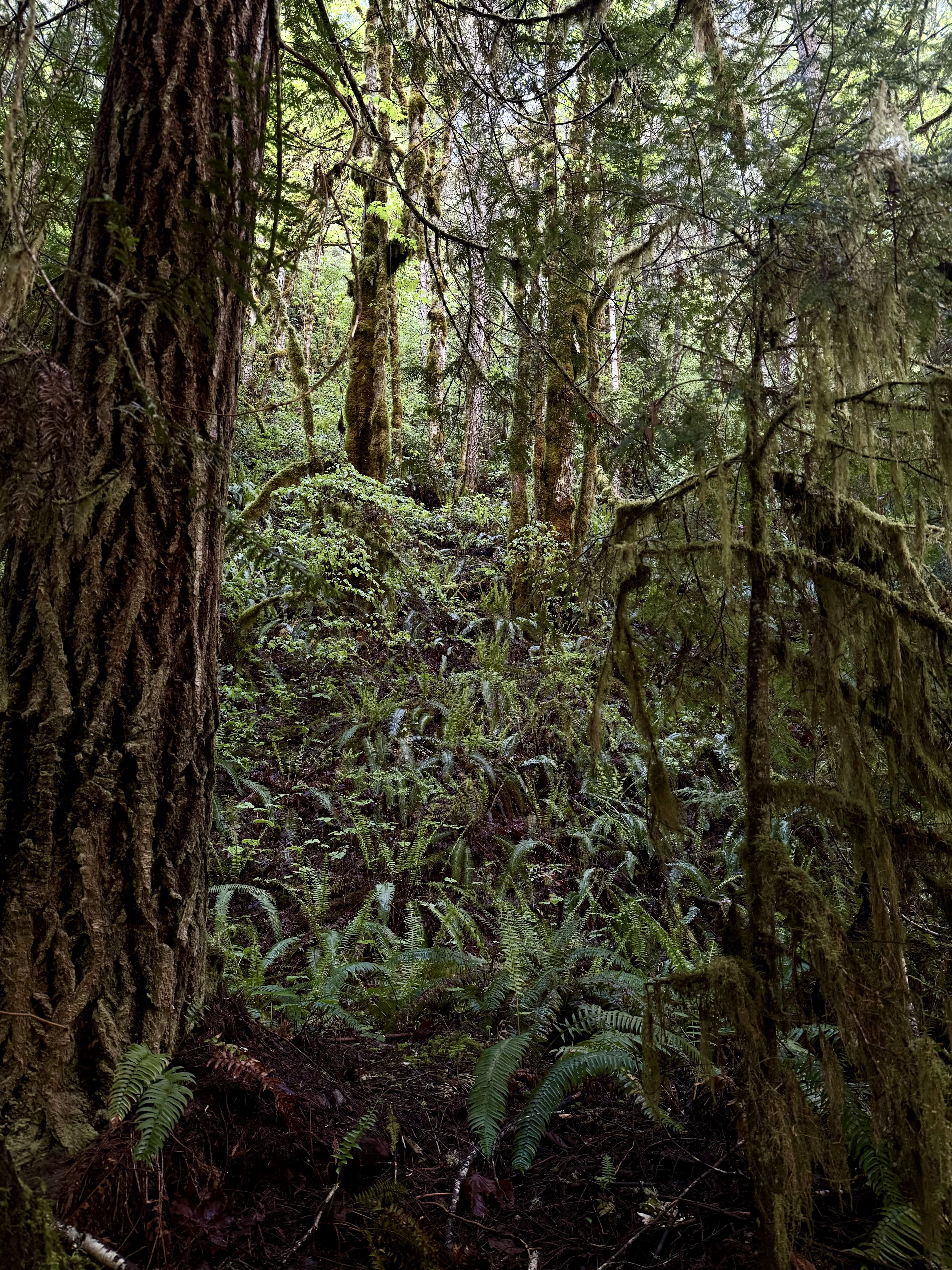
First up was the Lower Big Quilcene trail with options to continue to Notch Pass or intersect with the Upper Big Quilcene trail which eventually leads to Mt Townsend.  My objective was to go past the junction a ways, put in some miles, and possibly scope out some pocket water for some creek fishing once the season commences.  It's a very simple trail for the first couple of miles- level, minimally rocky, and shaded.  When I arrived to the trailhead just before 8 am, there were a couple of cars there and evidence they had camped overnight and likely set out early for an unknown objective.  With no signs of people otherwise, I was able to let Birch walk the trail off his leash.  By walk the trail I of course mean run ahead, turn and look at me, run back, and repeat in perpetuity.  He has excellent recall and is less reactive on his leash, but I am still very vigilant in watching for signs or listening for sounds of people approaching.  Not everyone likes dogs, and I respect that, so he will be on leash if there are people in the vicinity, despite his groany protests.  He peed on a million ferns, did his other business, which I cleaned up and carried with me so as not to litter the trail with unsightly plastic bags that people never seem to pick up on their way out like they promise.  It's a simple solution really, buy a silicone poo bag holder and attach it to your pack.  If you don't like the smell, eat a can of Pringles, save the canister, and put the bag in there.  It's really not that hard to not be a trash hole.  

After passing a couple of nicely constructed wooden bridges, we arrived at Camp Handy which has several lovely camping spots under a canopy of evergreens near the Big Quilcene River.  We poked around a bit before another crossing of the Big Quilcene as it twists, turns, and crashes over mossy boulders.  Shortly after, the junction turning toward Notch Pass is encountered, but we continued along the main trail.  We walked probably another mile and a half, climbing away from the river and dropping down again.  By this time, my hip was speaking a little more loudly to me, so we stepped off trail and down by the river which was more creek like at this time and had our lunch.  After that, as the sun broke through the canopy and blanketed the river, we headed back the way we came, passing a few hikers and a couple of bikers.  Each time I leashed Birch and pulled him off the side of the trail as he does quite well when given enough distance from unfamiliar people. We met a nice Nova Scotia Duck Tolling Retriever, and they had a sniff before making our way back to the parking lot.  Our total distance covered that day was around 7.0 miles, and while my hip was pretty sore by the end, it was the type of soreness I knew wouldn't linger and felt encouraged.  


  Our next ramble would be another mostly flat trail with the exception of a reroute due to a slide.  The Dosewallips River Trail itself was born of a similar origin.  The road used to run along the river all the way up to the National Park boundary, but the road was destroyed beyond repair many years ago.  Parking at the new end of the forest road, we set out just before 8 am, enjoying a smooth gravel bed for about a mile before coming to the washout reroute.  The trail climbs abruptly, several hundred feet and traverses high above the river through a wild rhododendron laden forest before dropping the climbed distance back to the road.  Continuing on the road but climbing more gradually, you pass by former campgrounds, over a waterfall, and eventually arrive at the former National Park entrance at about 5.0 miles.  Dogs are technically allowed beyond this point, all the way to the Dosewallips Campground, but since they can't go on any of the trails once there, it seems kind of pointless.  We snacked at the junction and enjoyed watching but mostly listening to numerous hummingbirds buzzing around.  I also spotted a yellow warbler, and we spooked a large grouse.  We then made our way back down the trail, this time the hip was making a lot more noise, probably because of the increased distance, so I had to stop and stretch it a few times, but overall, still a great day with some nice early season wildflowers, animal sightings, and solitude.  


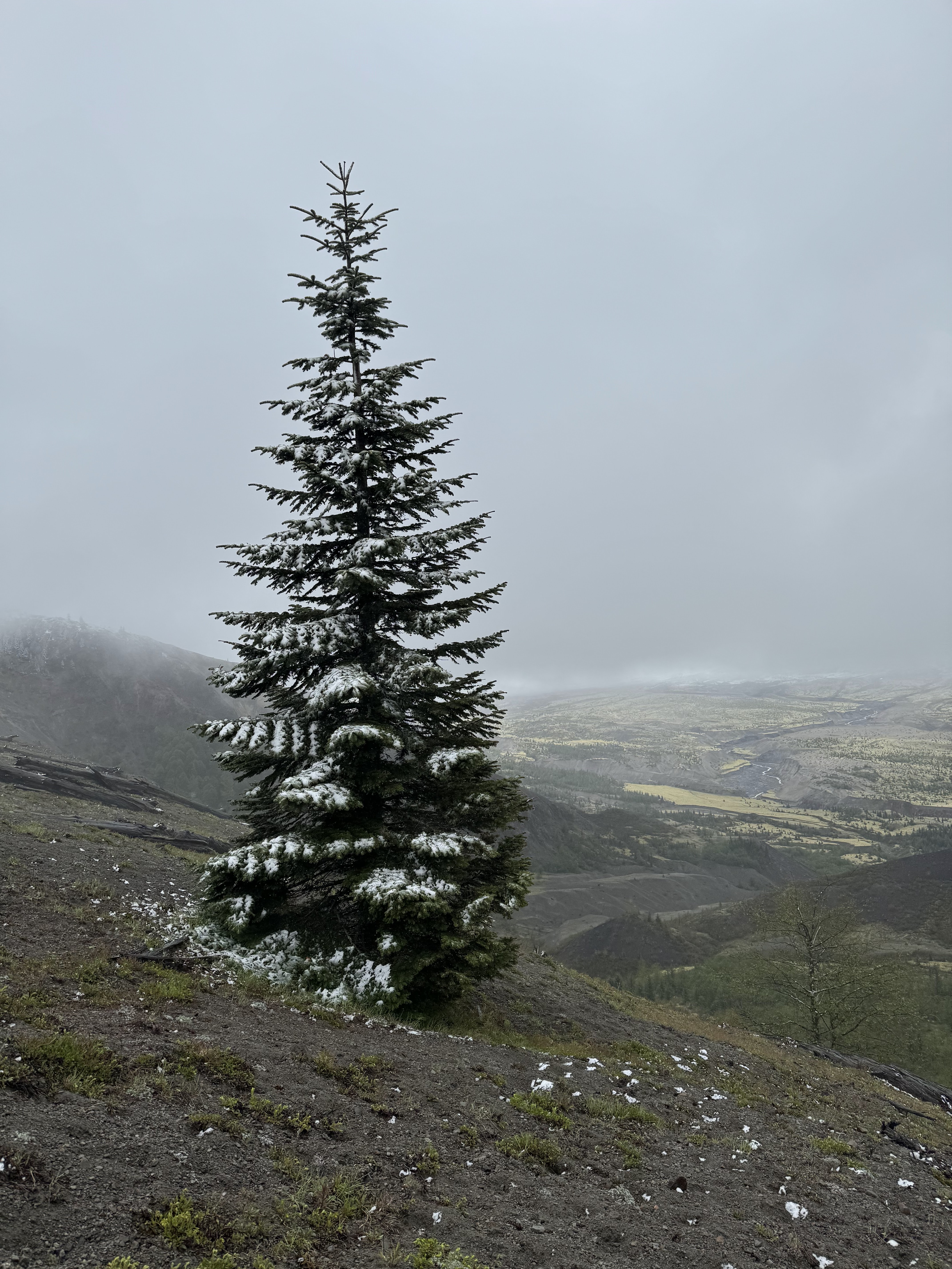
  The 44th anniversary of the Mt St Helens eruption fell on a rainy, windy weekend.  We wanted to get another hike in and possibly view the growing mountain goat herd on the north side.  Unfortunately, state route 504 was severely damaged by a landslide last summer and isn't estimated to reopen until at least 2025.  So for now, if you want to get anywhere near the Johnston Ridge Observatory, you have to hike there.  Starting at the Hummocks Trail, we hiked for half a mile before linking up with the Boundary Trail which weaves through the Toutle River Valley before climbing steadily, contouring the roadway before reaching the first of two viewpoints, Loowit at around mile four, then continuing another 3/4 of a mile to Johnston Ridge Observatory.  With the weather forecast, we were not going expecting views, but we were not expecting conditions to be as harsh as we encountered.  Initially we began our ascent in a drizzle with low-hanging, moody clouds.  Pausing to admire a striking mountain bluebird contrasted against the ever-changing conditions, we eventually continued upward in earnest.  Rain and wind turned to snow and more wind, at periods we couldn't see much of anything, but luckily with fast moving weather, the low visibility didn't persist as we neared the more exposed approach.  From the Loowit viewpoint, we spotted some elk down below in the valley but no signs of goats.  Snowing harder now with trace accumulations trailside, we ascended to Johnston Ridge and took shelter in the alcove of the now-shuttered visitor center.  Donning our heavier puffer jackets, we hung our shells to dry as we ate our snacks.  The viewpoint here was completely socked in, and the heavy snowfall continued.  Our hopes of any clearing and looking for goats now dashed, and the weather turning seemingly colder (in reality is was probably more related to us not moving and sitting on cold concrete), we decided it was time to head back down the trail and to the cold pizza waiting in the cooler.  I threw on some gloves and my slightly less soaked rain shell, and we descended quickly, the frozen fingers finally abating.  We passed a few people on their way up and made the predictable small talk about how lovely the views and weather were and continued making our way down, down, down.  When you're cold, wet, and a little uncomfortable (especially in the knees from the downhill), it seems to take forever to get back to the car, but eventually we did in fact reach the now half full parking lot.  We grabbed a cold beverage from the only open facility there and enjoyed some well earned pizza.  


To celebrate May's last days, I intended to hike to another favorite river in Olympic National Forest.  I got behind the slowest drivers ever going up 101 with no ability to pass due to oncoming traffic, construction, and heavy rain with poor visibility.  It definitely cost me time, and then to top it off, I got behind a gas truck going 10 miles under the speed limit on the rural road before the forest road.  It took way longer to get where I wanted to be, and when I pulled up the roadside trailhead, there was mud everywhere.  This particular trail is generally muddy this time a year, but the parking lot is usually not so.  This was a bad omen, and I could tell my resolve and ability to persist through any type of adversity was low.  I decided to change course and just do a hang and explore day, so the pup and I drove back down the forest road a ways, to a dispersed camping area along the river.  We hopped out and noticed a trail running right behind the site.  We followed it for probably a mile before there was a major washout that we could have probably negotiated, but since I changed my plan from what I had told Shaun in the am, I decided to play it safe.  I did have my rescue locator, but that doesn't mean I want to have an occasion to use it.  The dog and I hung by the river, where I fished multiple fishless runs, though I did spy a good sized spring Chinook that was half dead.  With a long drive home facing us, we headed back on the trail and to the car, driving back toward Oly, stopping at Dosewallips State Park for a sunny picnic, listening to hummingbirds buzz all around us.  


 I'd be lying if I didn't say I was ready for more alpine exploration, but I am proud to have made the best of a shoulder month of May.  The mosquitoes I encountered toward the end of the month reminded me that summer is indeed coming and that soon enough I will be complaining about itchy bug bites, heat domes, and wildfire smoke.  Oh and here's a courtesy goat from clearer, warmer days.


Monday, May 13, 2024

The Same Spring Break but Different

Poised to make our annual spring pilgrimage to Paradise Valley, we had to wrestle with some different circumstances than in previous years.  After returning from a wonderful trip to Argentina in December, I contracted COVID-19, testing positive a couple of days after we arrived home (I am sure I got it in the Houston airport because Texas sucks).  So I had to eat into my PTO bank for another week.  Then about a month later, I came down with a horrible cold and missed another week of work.  This was more sickness than I've had in any period of my life, which was incredibly frustrating in general and even more so when I realized I needed to conserve my vacation days to ensure I have enough for summer and a fall trips.  I am lucky to be able to flex my schedule around to an extent, and I was able to secure Wed-Sun off by working my usual off day, Monday, the week we left.  I'm always happy to get away, but I really wanted more time away as things at work were less than optimal and to be frank, annoying as hell.  Admittedly, these frustrations were really getting to me, to both of us, but we took off on Wednesday evening and hoped for the best.  We resolved to drive straight to Missoula despite knowing we wouldn't arrive until 2 am at best.  We actually made really good time and rolled in just after 2:15 after a rather uncomplicated drive and zero pass issues thanks to unseasonably warm temps.  We grabbed a few hours of sleep and headed toward the Madison River to fish after lunch before heading on to Livingston that evening.  

El Niño giveth, and El Niño taketh away.  What was our good travel fortune with warm temps and no snow meant low water levels on the river.  Still fishable, but not ideal.  We had a rough day of fishing, with Shaun landing a nice fish but otherwise, not much to celebrate aside from Birch making a new river friend.  The winds began to howl, and with less than stellar fishing, we decided to make our way toward Livingston, stopping in Big Sky to grab Pinky G's to lift our dampened spirits.  Along the drive, we spotted a lone moose grazing uphill of the highway.  We arrived to our cabin in South Glastonbury along the mighty Yellowstone at twilight and quickly unloaded our things.  The cabin was nice and spacious, and we relaxed with a beverage and made our plan for the next morning.  


The next morning, I ventured out to peep the sunrise from out front of the cabin.  It was one for the books- vibrant pinks, oranges, and purples against the Absaroka peaks.  I was testing out my new Sony A7cr, and while I wasn't fully briefed on all of its functions, it still produced some great shots.  We headed to the fly shop in Livingston to grab a few flies before heading to the creek.  We had mostly clear skies with a few hazy clouds, no wind, and comfortable temps.  At our first stop, we saw some rising fish, but we had difficulty casting to them from that vantage, so we decided to venture around the other side of the creek for better access and better presentation.  Unfortunately, the fish were super spooky.  We stayed well away from the bank, but every step we took, we saw fish scatter, seeking more cover and refuge.  The creek was low as well, and this combined with glassy water and bright sun just made for a miserable day of grinding.  Miserable in the sense we didn't catch anything (had a couple of half hearted takes), but it was still hard to beat the weather, fishing in summer shirts with no wind.  I also learned how to remove an embedded hook thanks to Shaun lodging one deep in his thumb.  It also reinforced the importance of pinching the barbs before you attempt to tie the tippet to the fly.  Ouch.  We decided to grind it out for few more hours but then figured it was time to call it a day and regroup for tomorrow.  Heading back, we had some leftover pizza with a few beers as we watched the sunset from the porch.  


The next morning was even sunnier, and that feeling of potentially being skunked decided to try and creep into my psyche.  Battling those thoughts, I decided to embrace whatever awaited us.  We moved around our familiar spots, with the same issues as the day before, low water, spooky fish, and very few bugs.  Finally, around 12:30, we found a pod of fish rising aggressively and without hesitation.  It was so weird as they were in a relatively sheltered area of the creek with little wind, full sun, and tons of birds of prey in the vicinity.  Despite that, there were BWOs hatching everywhere, and the fish were cleaning up!  Shaun caught the first large rainbow, then me, then him, then me.  We were both so relieved and felt validated that our resolve had yielded success.  We broke for lunch, and at that point the winds came on really strong.  We battled through them for a bit, but it eventually became too much.  We had another issue brewing as a snowstorm was predicted to hit mid-day on Saturday and threaten not only our ability to fish the Madison on Saturday as planned but our ability to get home on Sunday as well.  It was a tough call, but we knew what we had to do.  I had wanted to drive through YNP as we did every April, but without condensed trip, I didn't know if there would be time, which was really disappointing.  We decided to drive toward the park but detour into Tom Miner Basin since we were getting off the water earlier than expected.  There are tons of grizzlies in Tom Miner, and even though the odds of driving upon a grizzly are low, we decided it was worth the try and also to explore a new area.  Well, we didn't see a grizzly, but we did see a bobcat- my first sighting ever and one of my favorite species!  It was tough to get any good photos as it scampered away, but I got one decent one (below).  We also saw up-close some of the devastation from the floods, this time from the other side of the river, which was pretty staggering.  Eventually, it was time to head back to the cabin to pack up in order to leave out the next morning.  


We had an uneventful trip home, even had time to stop for breakfast at Cracker Barrel in Missoula, timing the weather perfectly. All in all, not the vacation we expected, but I'm still thankful for the time away and the unique experiences this trip brought.  And of course, we'll be back for more.