With eyes on more ambitious pursuits once summer reaches full swing, it was time to dust off the trekking poles and hit the lowland trails to get the hiking legs in shape. I've been dealing with some nagging right hip problems, so I'm taking a more systematic approach this year than in prior years where it was just a few sufferfest hikes, then I was ready to go. I've been focusing less on scenery and more on just putting in miles, but I'll never give up my own personal goal of seeing as few people as possible. When looking for early season hikes, the Olympic National Forest is hard to beat. Low-ish elevation river hikes typically fit the bill and offer plenty of options to tailor mileage to my goals. Since there usually isn't a terminal destination, there's no disappointment in turning around when the body says enough.
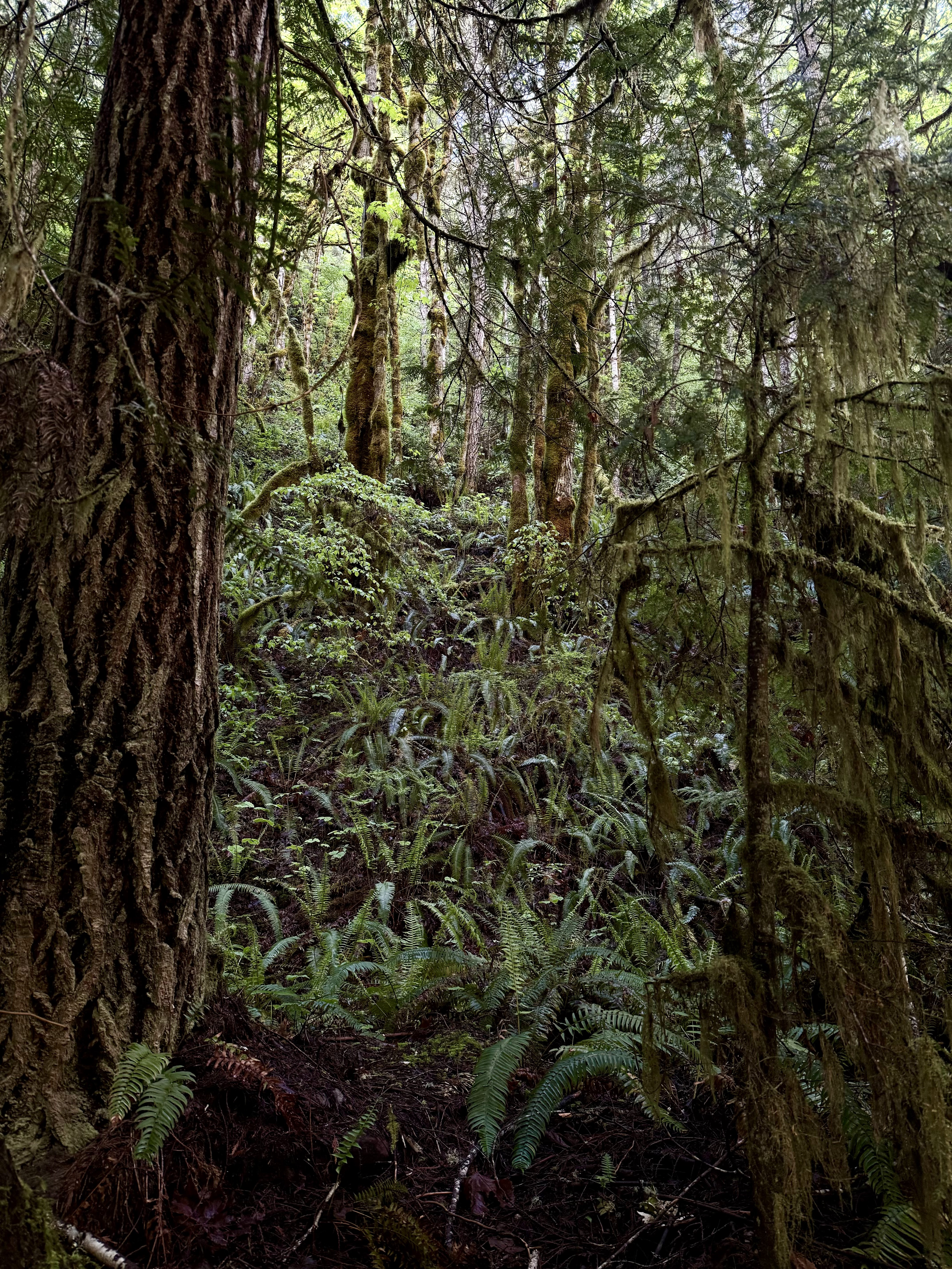
First up was the Lower Big Quilcene trail with options to continue to Notch Pass or intersect with the Upper Big Quilcene trail which eventually leads to Mt Townsend. My objective was to go past the junction a ways, put in some miles, and possibly scope out some pocket water for some creek fishing once the season commences. It's a very simple trail for the first couple of miles- level, minimally rocky, and shaded. When I arrived to the trailhead just before 8 am, there were a couple of cars there and evidence they had camped overnight and likely set out early for an unknown objective. With no signs of people otherwise, I was able to let Birch walk the trail off his leash. By walk the trail I of course mean run ahead, turn and look at me, run back, and repeat in perpetuity. He has excellent recall and is less reactive on his leash, but I am still very vigilant in watching for signs or listening for sounds of people approaching. Not everyone likes dogs, and I respect that, so he will be on leash if there are people in the vicinity, despite his groany protests. He peed on a million ferns, did his other business, which I cleaned up and carried with me so as not to litter the trail with unsightly plastic bags that people never seem to pick up on their way out like they promise. It's a simple solution really, buy a silicone poo bag holder and attach it to your pack. If you don't like the smell, eat a can of Pringles, save the canister, and put the bag in there. It's really not that hard to not be a trash hole.
After passing a couple of nicely constructed wooden bridges, we arrived at Camp Handy which has several lovely camping spots under a canopy of evergreens near the Big Quilcene River. We poked around a bit before another crossing of the Big Quilcene as it twists, turns, and crashes over mossy boulders. Shortly after, the junction turning toward Notch Pass is encountered, but we continued along the main trail. We walked probably another mile and a half, climbing away from the river and dropping down again. By this time, my hip was speaking a little more loudly to me, so we stepped off trail and down by the river which was more creek like at this time and had our lunch. After that, as the sun broke through the canopy and blanketed the river, we headed back the way we came, passing a few hikers and a couple of bikers. Each time I leashed Birch and pulled him off the side of the trail as he does quite well when given enough distance from unfamiliar people. We met a nice Nova Scotia Duck Tolling Retriever, and they had a sniff before making our way back to the parking lot. Our total distance covered that day was around 7.0 miles, and while my hip was pretty sore by the end, it was the type of soreness I knew wouldn't linger and felt encouraged.


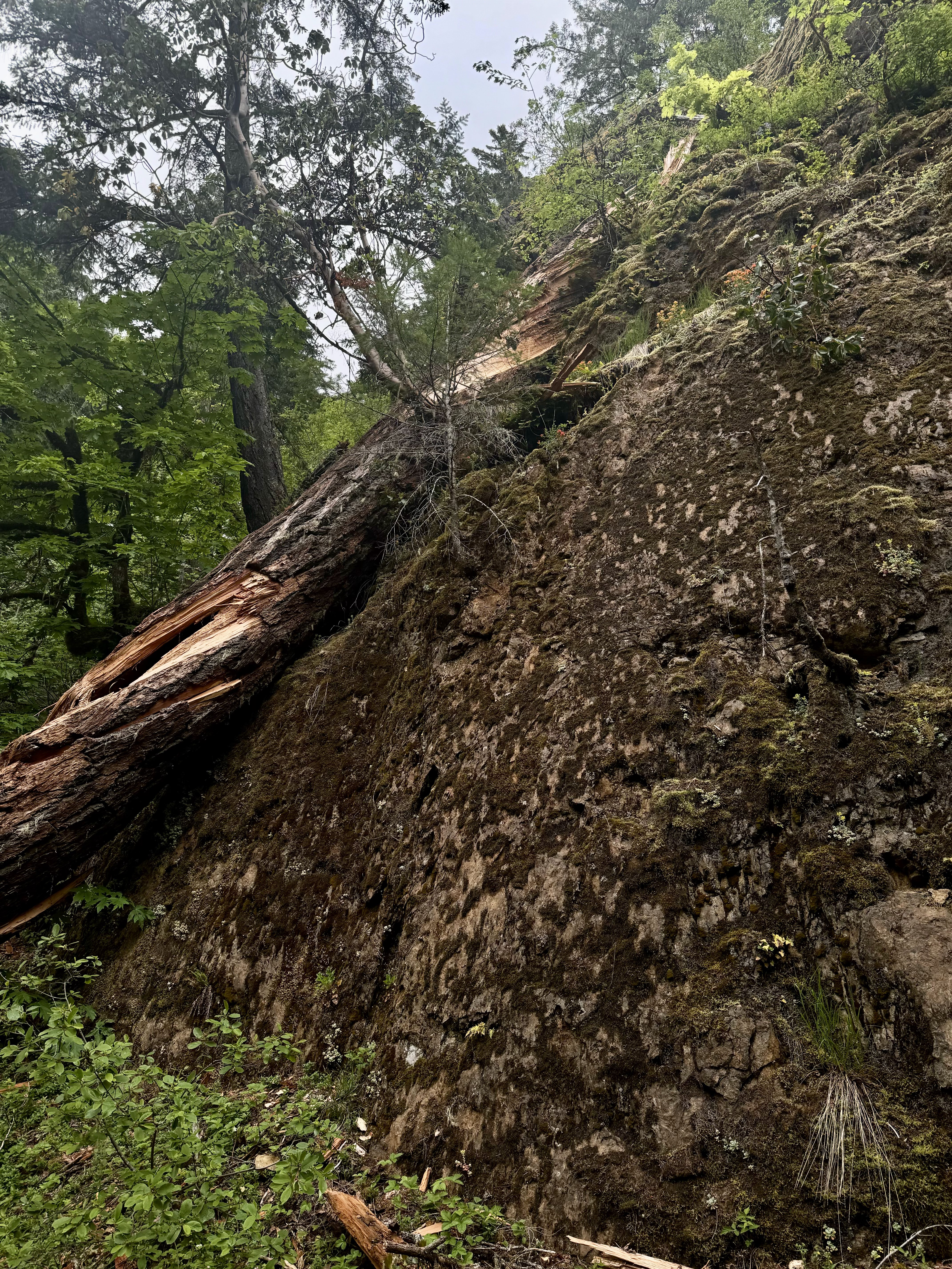
Our next ramble would be another mostly flat trail with the exception of a reroute due to a slide. The Dosewallips River Trail itself was born of a similar origin. The road used to run along the river all the way up to the National Park boundary, but the road was destroyed beyond repair many years ago. Parking at the new end of the forest road, we set out just before 8 am, enjoying a smooth gravel bed for about a mile before coming to the washout reroute. The trail climbs abruptly, several hundred feet and traverses high above the river through a wild rhododendron laden forest before dropping the climbed distance back to the road. Continuing on the road but climbing more gradually, you pass by former campgrounds, over a waterfall, and eventually arrive at the former National Park entrance at about 5.0 miles. Dogs are technically allowed beyond this point, all the way to the Dosewallips Campground, but since they can't go on any of the trails once there, it seems kind of pointless. We snacked at the junction and enjoyed watching but mostly listening to numerous hummingbirds buzzing around. I also spotted a yellow warbler, and we spooked a large grouse. We then made our way back down the trail, this time the hip was making a lot more noise, probably because of the increased distance, so I had to stop and stretch it a few times, but overall, still a great day with some nice early season wildflowers, animal sightings, and solitude.


No comments:
Post a Comment